memories for a lifetime
Laya Gasa Trek
Detail about the package
Tour Itinerary
Laya gasa trek takes you through the semi-nomadic village with unique culture, traditions, and appearance.
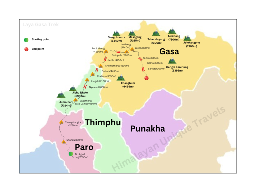
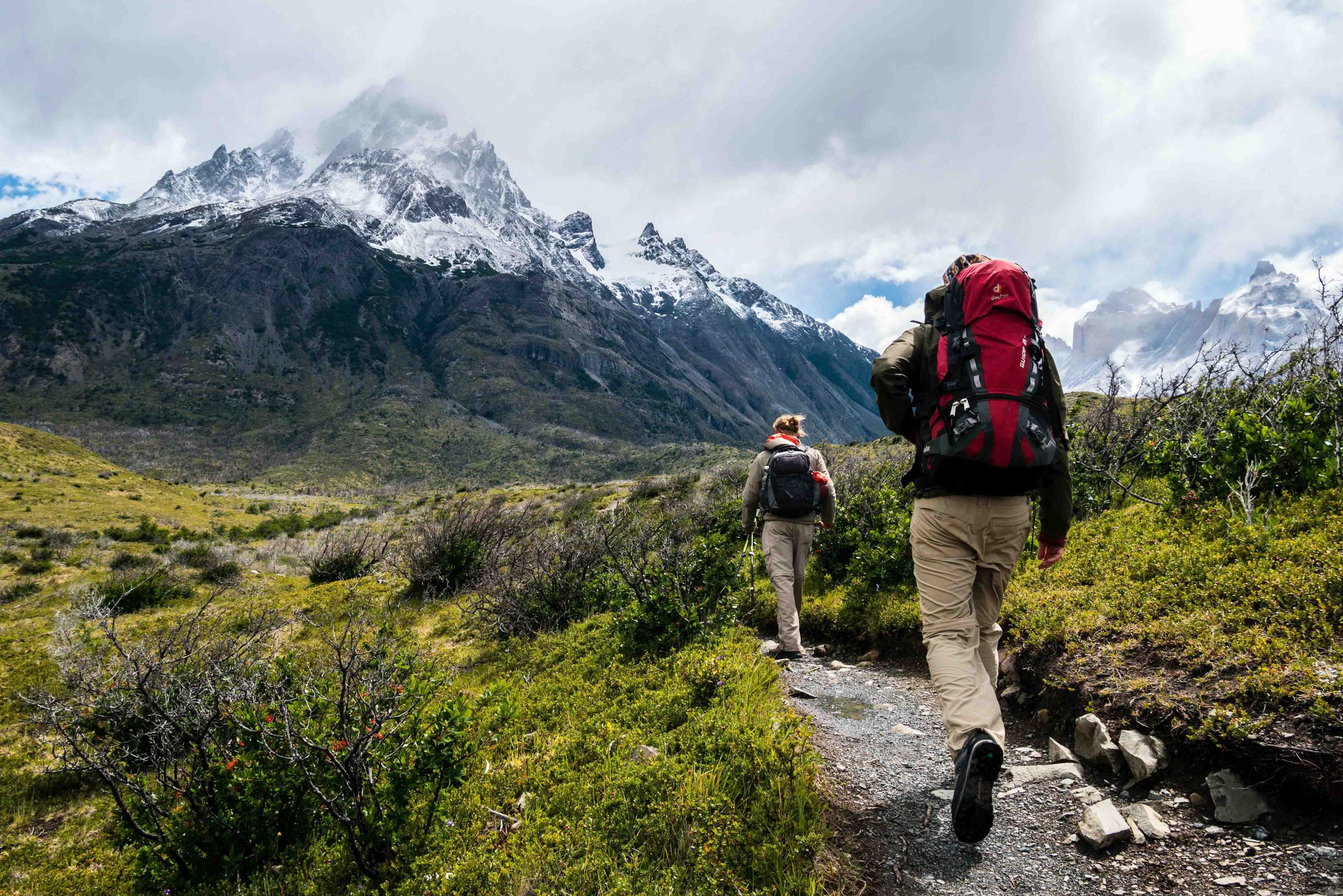
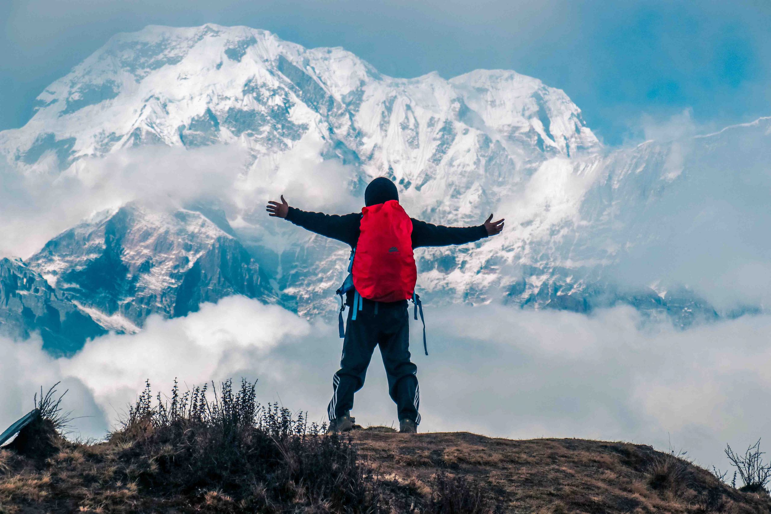
Laya Gasa Trek is one of the most scenic long distance treks in Bhutan. The trek runs along the Tibetan border and offers amazing views of some of the most pristine and untouched landscapes in Bhutan. The trek begins at Drugyel in Paro and takes you through serene alpine meadows and high mountain passes with magnificent views of Mount Jumolhari, Jichu Drake and Tsherim Gang. The trek will traverse the remote semi-nomadic village of Laya. You will get to enjoy the unique culture and tradition of the indigenous people of Laya (Layaps). You will also see native animals such as blue sheep and Takins along the trail. From Laya you descend to Gasa, where you will have a day of relaxation at the hot spring to rejuvenate
- Difficulty level- Hard
- Highest altitude- 5010m
- Avg. Walking distance-17km
- Best season: March to May and September to November
Trail Map
The fight to Paro crosses the Himalayan Mountains, affording spectacular views of the awesome peaks, including the sacred jumolhari and jichu Drake in Bhutan. On arrival in Paro Airport, you will be received by our guide and transfer to restaurant for lunch . After lunch, you will visit the Rinpung Dzong, the 15th century massive fortress which now serves as administrative and monastic center of the valley. From the Dzong, you can walk down to the road head crossing a traditional wooden bridge. After that you will be taken to Kichu Lhakhang, one of the oldest and the most sacred temple built in 7th century. In the evening, you can stroll in Paro town.
5Km | 4-5 hours | 900m Ascent
After breakfast, you will hike to Taktsang (Tiger’s Nest) Monastery, Bhutan’s most famous monastery, which is located at face of the cliff( 3100m) offering the best view of Paro valley. Today’s hike will be the acclimatization for the next day’s trek. According to the legend, it is believed that Guru Rimpoche, the 8th century Spiritual Master, flew to this location on the back of a tigress to meditate. Lunch will be served at Cafeteria Restaurant halfway up on the mountain. Explore the monastery and hike back to Paro. Overnight in hotel
17Km | 4-5 hours | 450 Ascent | 70Descent Camp| altitude 2850m
Drive 30 minutes North of Paro, where trek starts from Drugyal Dzong at 2400m with a downhill walk on a wide trail. The trail gradual ascents through Chentoe village of rice terraces and fields of millet and area of an Apple orchards. . After about four hours walk you will reach the army post at Gunitsawa (2,800m). At the army check point your trek permit (provided by your tour operator) will be checked and endorsed, then walk for another 20 minutes to reach our campsite. The campsite is on the opposite side of the Paro river.
21Km | 6-7 hours | 900 Ascent | Camp altitude 3750m
Today will be the long day trek, following Paro river crossing several time wooden bridges and Paro river. The trail enters National Park after crossing the wooden Bridge, continues with lots of small ups and downs in the forest of Dhododendrons,fir,hemlock,Larch,sprouse and Birch. After crossing the last bridge for the day, climb uphill gradually through the meadow where a camp will be set up at the altitude of 3750m. From here, if weather permits, you will see amazing view of Mt. Jumolhari.
19Km | 4-5 hours | 300 Ascent | Camp altitude 4050m
This morning see Jomolhari Peak, if you have not seen last night, the trek continues up through the forest for 40 minutes, then widens into patches of alpine meadow following the Paro river. Today you will cross above treeline(4000M) and cross an army checkpoint along the way and enjoy a spectacular view of high mountain ridges and snow-capped peaks. The trail becomes easier, in this area, where yaks, Yak- herder’s camp can be seen, passing through the villages will be another highlight on this trek. Before reaching to our campsite,,we will come across community school and basic health care center, this is the place where Jomolhari Festival is held, where Highlander comes to exchange their culture and tradition and products. From here you will catch the most beautiful view of Jichu Darke and Tsheringmagang peaks.. Then, the trail gradually ascents to reach the most beautiful campsite for the trek facing majestic Jomolhari peak, just nearby we can also see ruin fortress.
Today is rest day in Jangothang provides plenty of possibilities for day hikes with great views of lakes and snow capped mountains such as Jumolhari and Jichu Drake. There is the great opportunity to spot some blue sheep and Marmot on the upper slopes of the valley. Jangothang is a perfect environment for your acclimatization. You can also trek up to Tsophu Lake (Twin Lake) or hike towards Jomolhari Peak.
19Km | 6-7 hours | 800 Ascent | 730 Descent | Camp altitude 4100m
From the camp, walk on the valley for 20 minutes, then cross Paro river, the trail follows steep ascents for about one an half hour to 2 hours to reach the Nyele La Pass at an altitude of 4830m,if weather permits you can see scenic view of Jomolhari, Jichudarke and Tsheringmagang peaks. From the pass steep descents to the Lingshi camp, from here trail becomes easy through wide meadow from the ridge catch breathtaking view of the valley, Lingzhi Dzong.
12Km | 5-6 hours | 100m Ascent | 250m Descent | Camp altitude 3850m
The trail ascents gradual to reach a Chorten(Stupa) below Lingshi Dzong. You have the choice of staying on the main trail or climb up to the Lingshi Dzong (4220m), which sits right atop a high ridge. After Lingshi Dzong, It is an easy day and pleasant walk through Lingshi villages and yak herders camp. On reaching the campsite at Chebisa, you will have enough time to visit the village houses. There is beautiful waterfall located behind the village.
17Km | 6-7 hours | 570m Ascent | 290 Descent | Camp altitude 4130m
Today starts the trail steep ascent behind Chebisa Village through a wide meadow towards Gobu La pass at an altitude of 4420m. While treking, you will see a few people herding yaks and you may also see herds of blue sheep now . After crossing Gobu La, you will descend into the valley, then climb again a little bit, before descending again to Shakshepasa (3980m), a large U-shaped valley. Climbing from here you will finally reach the campsite at Shomuthang, above a river, which is a tributary of the Nochu river.
15Km | 5-6 hours | 620m Ascent | 590 Descent | Camp altitude 4160m
You begin the trail climbing up the valley. Edelweiss abounds along the trail. The snow peak you can see to the southeast is Kang Bum (6526m). After two hours of climbing you will reach Jhari La (4750m), from where you catch the first glimpse of Sinche La, the pass you will have to cross the day after. The big snow peak in the north is Gangchhenta (Tiger Mountain), 6840m. The camp by the river is called Tsheri Jathang located in a beautiful wide and remote valley. Climb up a little bit and you will reach the campsite at Robluthang in a rocky meadow.
19Km | 7-8 hours | 850m Ascent | 870m Descent | Camp altitude 4140m
It is a long climb to Shingela pass (5010m). The view of the mountains from the path is stunning. As you descend, you will see an impressive terminal moraine and a glacial lake at the foot of the valley. Below the moraine, you cross the Kango Chhu and soon reach the Lingmithang campsite. The peak of Gangchhenta towers over the campsite even though it’s quite a distance away.
10Km | 3-4 hours | 60m Ascent | 340 Descent | Camp altitude 3850m
In the morning you wake up with a superb view of Gangchhenta peak in front of you. The walk to Laya is very pleasant with wonderful views. You will pass through a damp forest, filled with moss and singing birds. Arrive at Laya village, the second highest settlement in the country, at altitude of 3850m. From the west of the village, you will have spectacular views of Mt. Gangchhenta and catch Mt. Masagang.
19Km | 6-7 hours | 50 Descent | Camp altitude 3800m
Descend to army camp and join the Mo Chhu river. Follow the river till you cross the bridge. After the bridge it is up and down several times, through juniper and fir forests until you reach the camp at Koena at an altitude of 3,800m.
19Km | 6-7 hours | 300m Ascent | 1200m Descent | Camp altitude 2900m
Walk for about half an hour over flat land till the Barila La pass (4100m). After this it is downhill all the way to Gasa Tshachu. Lunch will be served at Gasa village. After lunch visit the village. Then descend to Gasa Tshachu (hot spring) for camp at an altitude of 2900m. You soak in Hot Spring, which has curative values for various ailments.
Today you will drive to Punakha on unpaved roads. The drive is through the high agricultural benches above the Mochu river into a lush semi-tropical gorge filled with banana trees and creepers. After lunch, you will visit the Punakha Dzong, which is one of the most beautiful Dzongs in Bhutan. Overnight hotel in Punakha.
Enjoy the scenic drive to Thimphu with a stop at Dochu La Pass for tea, where on a clear day you can get spectacular views of the Himalayas. Check into your hotel on arrival in Thimphu. In the afternoon visit archery playing ground, where local plays match traditionally, you can stroll freely in Thimphu city. Overnight hotel in Thimphu.
In the morning, you will drive to the airport for departure. Our representative will bid you farewell.
Other Details
Inclusion & Exclusion
- Government levy/taxes & visa fee
- Transport by private vehicle
- Government approved 3-star hotels
- English speaking guide
- Permits, entrance fees, & sightseeing
- Sleeping tents, sleeping mats & pillows
- Dinning tents, kitchen tent & toilet tent
- Tables, chairs, utensils, hot water bags
- Trekking chef & assistants
- Horses to carry trek equipments
- Food supplies
- Airfare
- Insurance
- Laundry
- Drinks & beverages
- Phone/internet bills
- Tips
- Wire transfer charge/card fee
- Sleeping bag
- Other bills of personal nature
Trekking in Bhutan
Whether you are looking for a day hike or a gruelling 31 day adventure, Bhutan has it all. Pristine mountain lakes, imposing glaciers and some of the world’s most endangered species await you in the mountainous amphitheatre of the Himalayas. Let us give you a selection of some of the country’s finest treks.